


ACRES assessment to continue using satellites
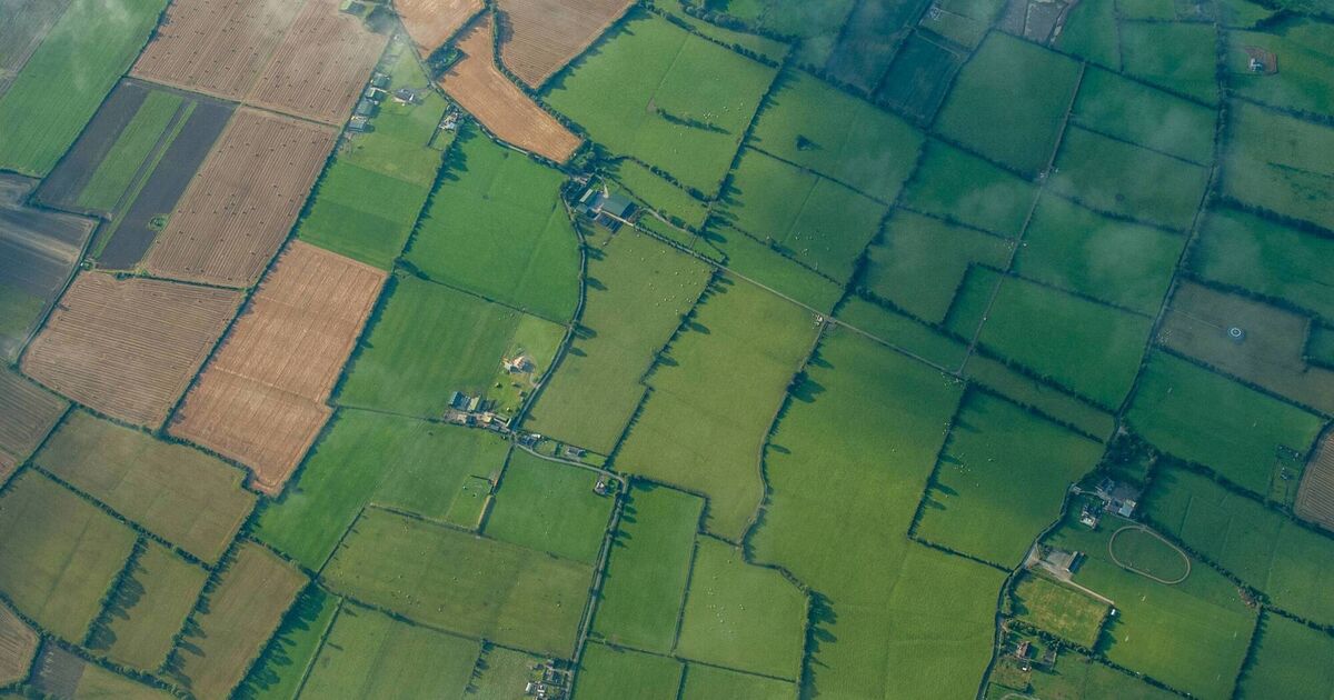
Farmers participating in the Agri-Climate Rural Environment Scheme (ACRES) are being advised that satellite imagery will again be used in the assessment of activities. The department has announced that it will again utilise the Area Monitoring System (AMS) to ensure that farmers in area-based schemes like ACRES are meeting eligibility requirements for 2026. AMS is defined as the regular and systematic observation, tracking and assessment of agricultural activities and practices on agricultural areas using Copernicus Sentinel Satellite data. AMS will be monitoring seven ACRES actions again in 2026. The purpose of this Technical Notice is to remind farmers of the ACRES actions to be monitored by AMS in 2026, some of which have key dates falling in March.
Source: Irish Examiner March 04, 2026 18:31 UTC


